
U.N. approves resolution in support of map that shows Africa’s true size
Context
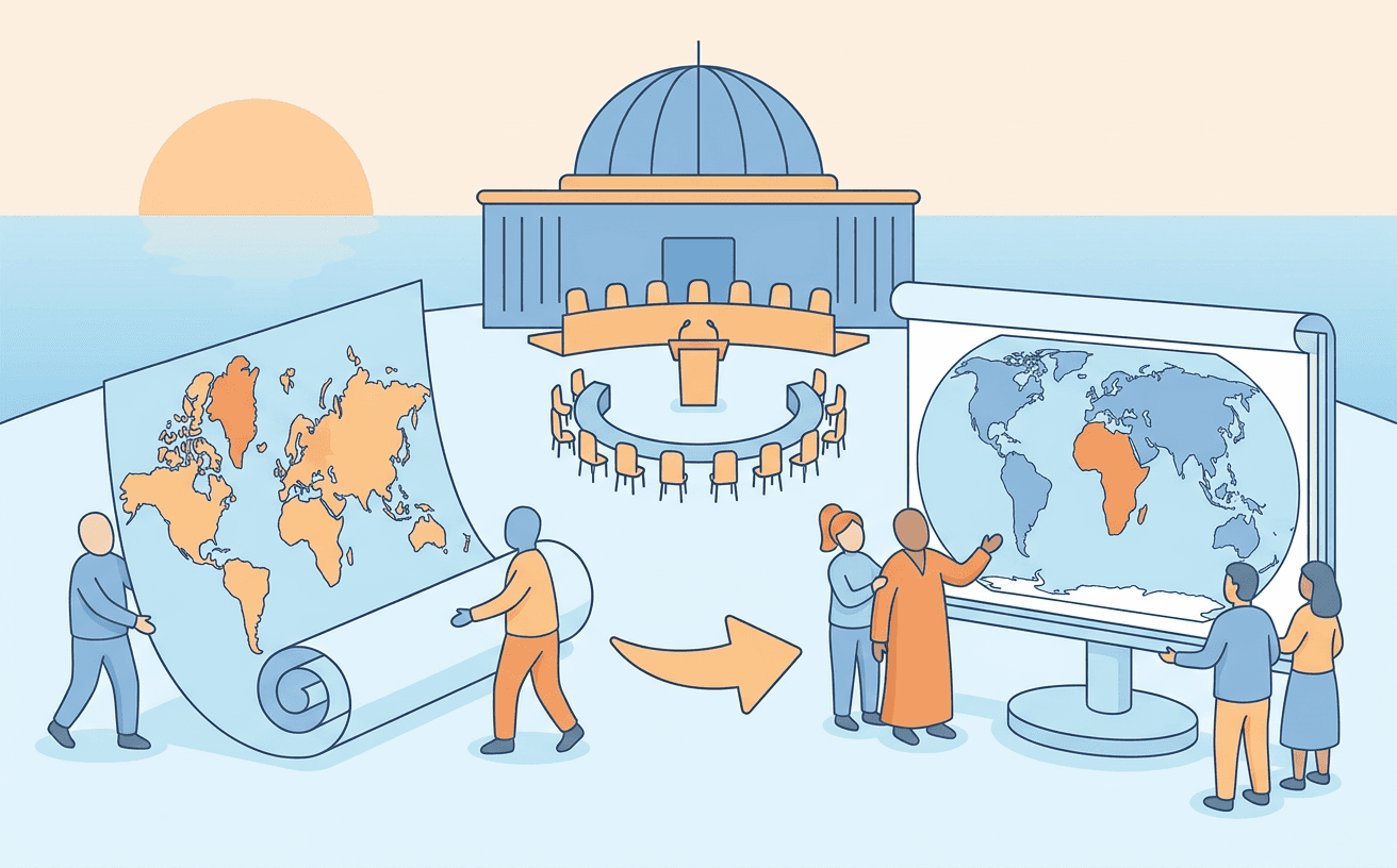
The has passed a resolution sponsored by African nations, led by Togo, advocating for a shift away from the widely used 16th-century **** map. The resolution encourages the adoption of maps like the **** that more accurately reflect the true size of continents, particularly Africa, which the Mercator map significantly distorts. This initiative is framed as part of a broader effort to confront colonial-era legacies and challenge perceptions that the African continent is peripheral to global affairs.
Exam perspectives
From a purely geographical standpoint, mapping a three-dimensional globe onto a two-dimensional surface inherently requires compromises, leading to distortions in either area, shape, distance, or direction. The Mercator projection, developed by Gerardus Mercator in 1569, is a cylindrical map projection designed specifically for maritime navigation. It preserves angles and shapes (conformal projection), making it excellent for plotting straight-line courses (rhumb lines) across oceans. However, this comes at the cost of significantly distorting the relative size of landmasses, especially those further from the equator. This distortion causes regions near the poles, like Greenland or North America, to appear disproportionately large compared to equatorial regions like Africa. The proposed Equal Earth projection is a pseudo-cylindrical projection that maintains the relative size of areas (equal-area projection) while striving to preserve the familiar shapes of continents. For UPSC Prelims, understanding the differences between map projections—specifically conformal versus equal-area—and their respective applications and limitations is crucial.
The adoption of this resolution at the United Nations General Assembly highlights the evolving dynamics of Global South diplomacy and the increasing assertiveness of the African Union. The initiative, spearheaded by Togo, utilizes a seemingly innocuous issue—cartography—to challenge entrenched Eurocentric narratives and assert a more prominent role for Africa in the global consciousness. The voting pattern itself is illustrative of current geopolitical fault lines; while the resolution enjoyed overwhelming support (164 votes), the sole opposing vote from the United States, framing the move as an 'ideological agenda,' reflects ongoing tensions regarding symbolic and substantive shifts in global influence. For Mains GS Paper 2, this event serves as a strong example of soft power and narrative building in international relations, demonstrating how formerly colonized nations are actively working to reshape global perceptions and dismantle colonial legacies in international forums.
The persistence of the Mercator map in educational systems long after its utility for global navigation has been superseded by technologies like GPS is fundamentally linked to colonialism. The map visually centers Europe and artificially inflates the size of Northern Hemisphere countries, subtly reinforcing colonial-era power structures and Eurocentric worldviews. By advocating for maps that reflect the true size of Africa, these nations are engaging in a form of decolonization of knowledge and education. The Togolese minister explicitly linked the campaign to confronting colonial legacies, highlighting how seemingly objective tools like maps carry historical biases. For UPSC Mains GS Paper 1, this provides a compelling case study on how the legacy of colonialism extends beyond political and economic structures into the realm of culture, education, and the very representation of the world itself.
Key references
AI-generated study notes, sourced from The Hindu. Verify facts and figures with standard sources.