
UN-backed proposed world map must depict J-K, Ladakh as per India's official map: MEA
Context
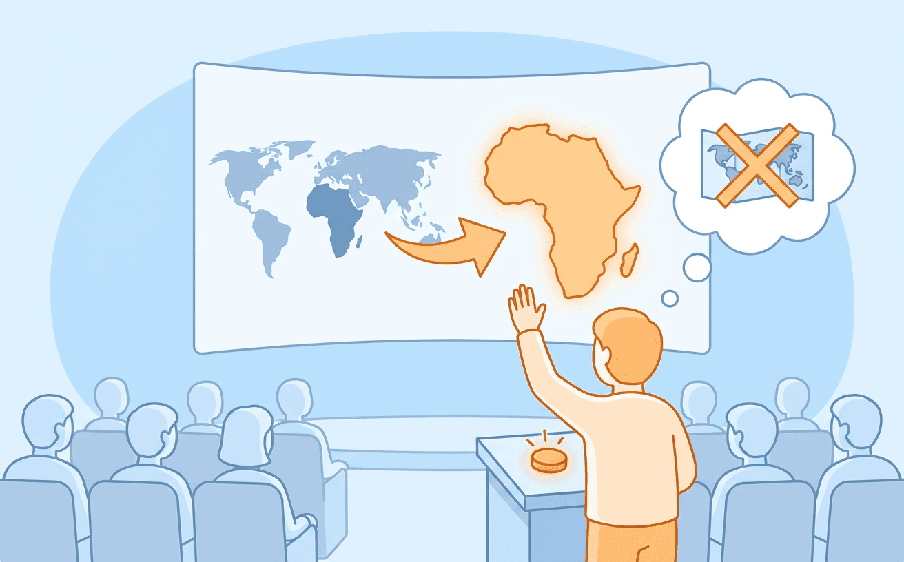
India voted in favour of a resolution to promote equal-area cartographic representation (specifically showing Africa's true size) but clarified this does not endorse any specific political map. The Ministry of External Affairs (MEA) asserted that any UN-backed world map must depict the Union Territories of and according to India's official map, rejecting any inaccurate representation.
Exam perspectives
This issue highlights the concept of map projections and their inherent distortions. The UN resolution aims to correct the widespread use of the Mercator projection, which preserves shape but severely distorts size, making regions near the poles (like Europe and North America) appear much larger relative to equatorial regions (like Africa). The resolution advocates for equal-area map projections (like the Peters or Eckert projections) that accurately reflect the relative sizes of continental landmasses. However, from a UPSC perspective, it's crucial to understand that map projections are mathematical tools; they are distinct from political cartography, which deals with international boundaries and territorial claims. The MEA clarified that endorsing an equal-area projection for physical geography does not mean India accepts any specific depiction of its sovereign borders, especially concerning Jammu and Kashmir and Ladakh. UPSC Prelims often test knowledge of different map projections and their characteristics.
India's stance demonstrates a nuanced approach to multilateral diplomacy at the UN General Assembly. India supported the resolution (sponsored by Togo) because correcting historical cartographic bias against the Global South (specifically Africa) aligns with India's role as a leader of the developing world and its commitment to equitable representation. However, India simultaneously protected its core national interests by issuing an explanation of vote. This diplomatic tool allows a country to clarify its interpretation of a resolution it voted for. By explicitly stating that the resolution 'neither adopts nor authenticates any particular world map, nor does it address political cartography,' India preempted any attempt by adversaries (like Pakistan or China) to use a UN-endorsed map that might misrepresent its borders as a legitimation of their territorial claims. This highlights the constant interplay between supporting global initiatives and safeguarding territorial integrity in international forums.
The MEA's strong statement underscores the critical link between cartography and national sovereignty, a key aspect of border management. The accurate depiction of Jammu and Kashmir and Ladakh on official and international maps is not merely a symbolic issue but a core component of India's position on its territorial integrity. Incorrect maps, especially those published by international bodies, can be used to legitimize hostile narratives or dispute Indian sovereignty. This connects to broader security concerns regarding cartographic aggression, where adversaries publish maps claiming parts of Indian territory (e.g., China's claims in Arunachal Pradesh or Aksai Chin). The Survey of India is the national mapping agency responsible for the official map. UPSC Mains often explores the challenges of border management and how diplomatic positioning on territorial disputes supports internal security objectives.
Key references
AI-generated study notes, sourced from The Hindu. Verify facts and figures with standard sources.